Drone Roof Inspection in Fayetteville, AR
Drone roof inspection for large and hard-to-reach commercial roofs in Fayetteville, AR: thermal and high-resolution imaging with findings tied to a roof plan.
Some roofs are a poor place to send a person first. A steep metal panel roof slick with morning dew, a tall parapet with no guardrail, or a long-span building where the far end is a quarter-mile walk from the hatch all slow an inspection down and add risk. A drone covers that ground in minutes. It gives the property manager photographs of every square foot, shows trouble spots before anyone steps on the membrane, and leaves a record that can be compared with the next flight a year later.
We use drone imaging on commercial roofs in Fayetteville, AR and across Northwest Arkansas as a first pass, then follow with a hands-on visit wherever the images raise a question. The aircraft finds the places that need attention, and the crew confirms what is actually wrong.
What you get: images tied to a roof plan
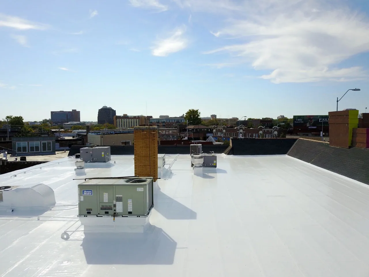
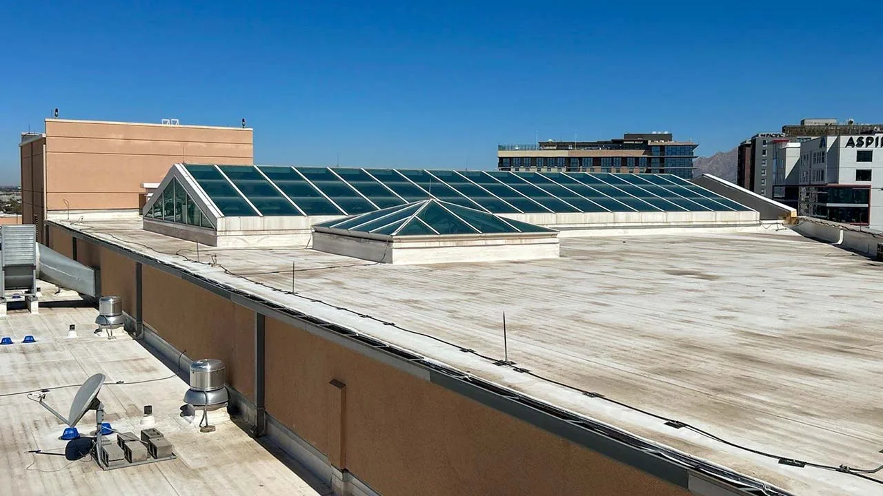
A flight produces overlapping high-resolution photographs that we stitch into a single map of the roof. From that map we mark each finding on a plan: ponding stains, torn or lifted seams, displaced flashing, blocked drains, damaged coping, debris and corrosion on metal panels. Each marked item links to a close-up image, so the manager can see the problem without climbing a ladder.
Thermal imaging, when the conditions are right, adds a second layer. Wet insulation holds heat differently from dry, and a thermal camera flown at dusk after a sunny day shows those patterns. We treat thermal results as a map of suspect areas, not a final answer, and confirm them with a moisture survey and core cuts before recommending repairs. The images then support a roof condition report with the evidence attached.
Fit: where a drone beats a ladder
Large roofs are the obvious case. Industrial ground in the metro includes the Fayetteville Industrial Park, the poultry processing and trucking base around Springdale, and J.B. Hunt's headquarters town of Lowell. A drone can map a full roof in a fraction of the time a crew needs to walk it, which keeps the cost of the inspection down on big properties.
It also fits roofs that are risky to walk: steep metal, fragile skylights, or membranes with a coating that is slick when wet. After a hailstorm or wind event, a drone gives a fast read of the whole building, which helps when many properties need attention at once. For owners with several buildings, flying them all in a day or two gives a portfolio snapshot that a walking team would need weeks to produce.
Storm response: a fast read when many roofs are hit
Hail reports of up to 3.00 inches east of Fayetteville in May 2020 show the practical problem after a big storm: each roof along the path needs a look, and crew time is limited. Flights compress that work. One pilot can cover several buildings in a day, and the images show which roofs have visible fractures, displaced flashing or ponding and which need no emergency attention.
The same approach fits wind events. When the March 2022 tornado crossed Springdale, the damage ran along a 5.2-mile path, and roofs just outside it would need checking for debris strikes and lifted edge metal. An aerial pass shows that pattern quickly, then a crew goes to the roofs that need it first.
Limits: what a drone cannot tell you
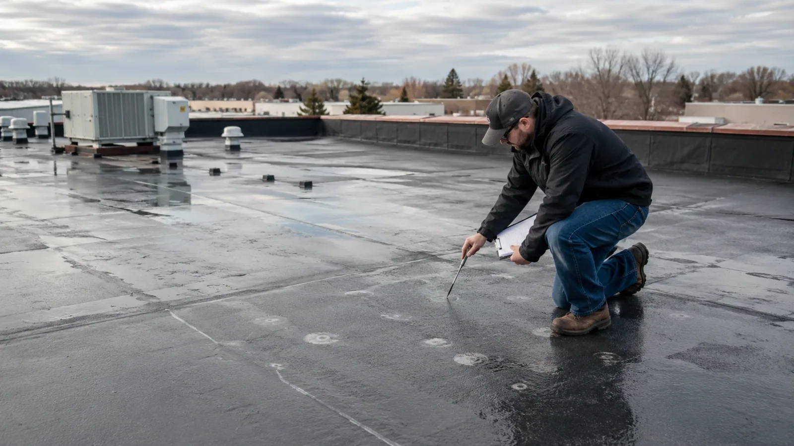
A camera sees the surface. It does not see wet insulation under a dry-looking membrane, deck corrosion hidden by the roof assembly or a fastener that has backed out below the surface. It cannot press on a seam to check adhesion or feel a soft spot underfoot. Those are the reasons we pair the flight with a walk on any roof where the images show a concern, and why the drone report is a starting point, not a substitute for the full inspection.
Weather limits the flights as well. Wind, rain, low light and very high temperatures make clear images harder. We schedule around Northwest Arkansas weather, which brings about 47 inches of rain a year at Fayetteville's Drake Field, and we rebook when conditions are poor rather than deliver a report built on weak images.
Rules: airspace, permission and privacy
Flying near an airport or over certain areas requires authorization, and the metro has Northwest Arkansas National Airport, which opened in 1998 about 17 miles northwest of Fayetteville, along with the municipal airport in Springdale. We check airspace before each flight and request clearance where required. We also coordinate with the property manager so tenants know when a flight is scheduled, and we keep the aircraft over the owner's property.
The images belong with the project record. They show the roof, not the people inside the building, and we handle them as part of the report. If a building houses sensitive operations, tell us in advance and we will adjust the flight plan and the image handling to fit.
Questions About Drone Roof Inspection
After the flight: turning images into decisions
The next step is sorting the findings. Items that need an immediate response go to a repair scope, while items that are worth watching go on the schedule for the next flight. If the images show widespread wear, the report supports the case for a replacement budget. A repeat flight each year or after any major storm builds a visual history, and that history is hard to argue with when a claim, a sale or a lender asks what shape the roof is in.
Commercial Roofing Questions
Is a drone inspection enough for an insurance claim?
It is strong supporting evidence, especially for showing the scope of hail or wind damage across a whole roof. Claims generally also benefit from a close-up, hands-on inspection of damaged areas, test cuts where needed and documented repairs. We provide the aerial record and the on-roof findings together so the adjuster sees both the pattern and the detail.
How much does drone inspection save on a big roof?
The savings come from time. Walking and photographing a large roof by hand takes hours, and a drone cuts that to a short flight plus targeted follow-up. The size of the roof, the access and the number of buildings all change the figure, so we price the flight to the property and tell you what the hands-on follow-up will add.
Can thermal images find every leak?
No. Thermal imaging highlights temperature differences that often point to wet insulation, but conditions have to be right, and a warm surface can hide a problem just as easily as it reveals one. We use thermal flights as a screening tool, then verify suspect areas with moisture readings or cores before recommending work.
Do you need to be on the roof during the flight?
Not for the flight itself. The pilot works from the ground or a safe launch point. If the roof has hazards, such as fragile skylights, we mark them in the report so no one walks into them during follow-up. For follow-up walks, a facility contact who can open the roof hatch makes the visit run smoothly.
How often should a building be flown?
Once a year suits most buildings, timed ahead of budget season so findings reach the capital plan. Add a flight after any hail or wind event. For roofs in poor condition or under warranty, a second flight a few months later shows whether a problem is moving. Comparing images across years is the biggest benefit of the method, since changes show up on the map before they show up inside.
Related Commercial Roofing Pages
Read how we handle this work in Fayetteville, AR
Read how we handle this work in Fayetteville, AR
Read how we handle this work in Fayetteville, AR
Read how we handle this work in Fayetteville, AR
Read how we handle this work in Fayetteville, AR
Read how we handle this work in Fayetteville, AR